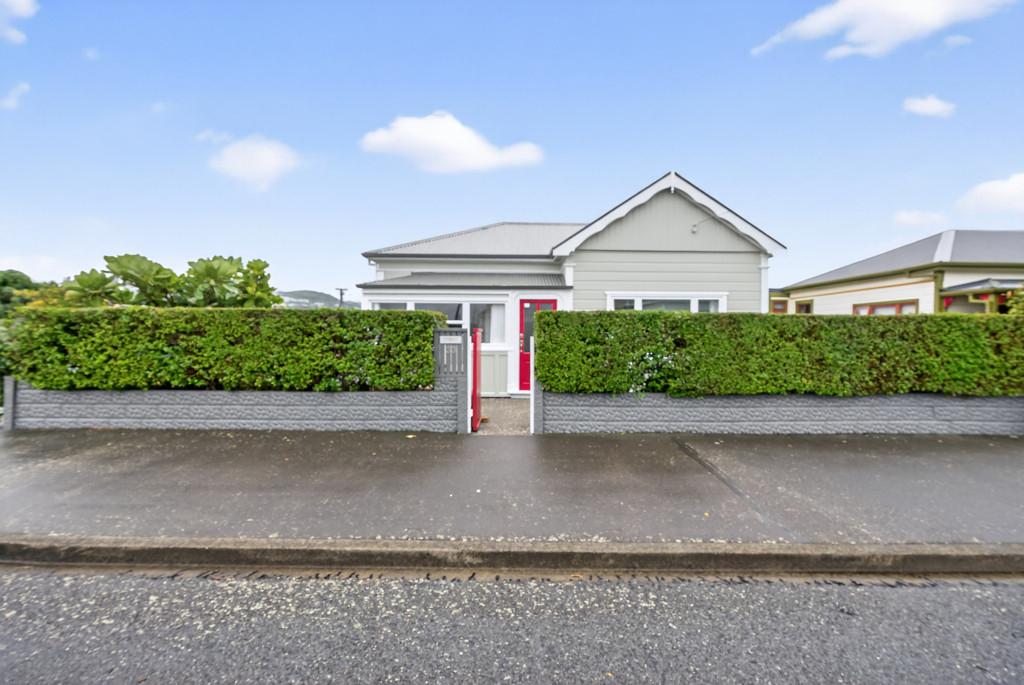

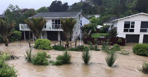
Wainuiomata first off the blocks in city-wide flood mapping project
The most comprehensive flood hazard mapping programme in Lower Hutt's history is underway.
Wainuiomata residents will soon get to see the first finished stormwater flood maps of the Wainuiomata urban area. They will also be able to contribute to flood hazard mapping of the Wainuiomata River catchment.
More information below:
Poll: As a customer, what do you think about automation?
The Press investigates the growing reliance on your unpaid labour.
Automation (or the “unpaid shift”) is often described as efficient ... but it tends to benefit employers more than consumers.
We want to know: What do you think about automation?
Are you for, or against?

-
9.6% For. Self-service is less frustrating and convenient.
-
43.6% I want to be able to choose.
-
46.9% Against. I want to deal with people.
A Neighbourly Riddle! Don’t Overthink It… Or Do?😜
Do you think you know the answer? Simply 'Like' this post if you know the answer and the big reveal will be posted in the comments at 2pm on the day!
If you multiply this number by any other number, the answer will always be the same. What number is this?

John Terris former Mayor HCC died 2 Feb 2026 Hutt
NOW THAT WE HAVE NO LOCAL newspapers.
Message just forwarded - the former Mayor of Lower Hutt John Terris died on Monday 2/2/26.
John was Mayor, MP and councillor [city and regional] over the years giving his all to Lower Hutt and beyond.
RIP John.
 Loading…