Nicole Mathewson
Reporter
from
The Press
By local democracy reporter Jonathan Leask:
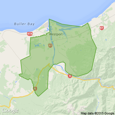
Westport residents are likely to be waiting until 2024 to get a clearer picture of how they will be flood-protected.
But a "massive gap" exists between public expectation and what will be built, Westport-based West Coast Regional … View moreBy local democracy reporter Jonathan Leask:
Westport residents are likely to be waiting until 2024 to get a clearer picture of how they will be flood-protected.
But a "massive gap" exists between public expectation and what will be built, Westport-based West Coast Regional councillor Frank Dooley says.
He is really concerned about the gap in public expectation and what will come under the $22.9 million 'support package'.
"I don't think the community has any clarity at this point in time," he said on Tuesday.
Dooley said a level of expectation since the regional council consulted for a flood scheme back in late 2021 was a reality, but now six weeks after the Government announced the funding, residents' futures were still unclear and bound up in a process.
A bemused Dooley said he, as chair of the committee governing council's infrastructure work, had yet to be shown the Westport steering group terms of reference.
In the meantime, further technical review requirements of the business case work created a drag on the project, two years on from the initial event that sparked it.
"My issue is the time lines or the drag in the timing of having a report prepared by someone," he said.
In the midst of that the regional council really needed to keep momentum going for Westport.
"It just means that the regional council has to take some risks and go ahead without the permission of the steering committee."
Dooley said the differences between the scheme first consulted on in 2021, and that presented for the business case last year was negligible - excluding Snodgrass and parts of Carters Beach.
At the same time someone had to "pick up the gap" in basic information for those affected.
He noted that aside from the public consultation in late 2021 and a couple of meetings for some residents in the past year, there was a dearth of information.
"There's a massive gap. We've waited 10 months ... there's been no consultation with the community as a whole since then," Dooley said.
Buller mayor Jamie Cleine, who sits on the steering committee, said the release of a six point graphic this week with no fixed time line was "trying to illustrate we're in the process".
He imagined both councils would consult on the scheme, under their 2024 long term plans.
He expected the future direction of Westport away from flood prone areas would be part of Buller's 2024 LTP process.
At the same time he acknowledged the ongoing uncertainty in Westport, as evidenced in the North Island where people awaited clarity on properties following Cyclone Gabrielle.
Cleine said tangible uncertainty remained in Westport two years on from the July 2021 event.
"We're hearing from those people, there is no doubt [but] there is a complex process that has to be worked through.
"No-one is pretending that everyone is protected. All those issues are just not defined enough at the moment to have those conversations."
However the regional council gaining endorsement for its 'quick win' projects to address crucial low lying flood prone points was critical.
"They should crack on."
Cleine said the steering group terms of reference were "quite clear".
This was that various aspects of the scheme would go to each respective council for approval before going to the steering group.
"It's not supposed to be the other way round."
At the same time the steering group was conscious it needed to "act with haste while we can".
-------------------------------------------
Approved 'quick win' projects for Westport
The Westport Steering Group has endorsed four workstreams deemed as "quick wins".
The West Coast Regional Council-led and paid for work is to provide significant benefits by reducing floodwater inundation around the edges of Westport.
The quick win projects are at the Floating Lagoon, Avery's, the Abattoir drain railway bridge and at nearby McKenna Road.
The Floating Lagoon project comprises initial geotechnical and survey work while the
other three projects will go to construction.
Buller mayor Jamie Cleine described the 'quick wins' as a great first step.
"These are some straightforward engineering solutions to reduce the risks in specific areas around Westport before work on the bigger flood protection project is finished."
Regardless of what is built in the broader scheme, the quick wins will complement the final flood banks.
*Public Interest Journalism funded through NZ On Air


 Loading…