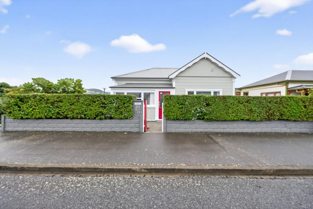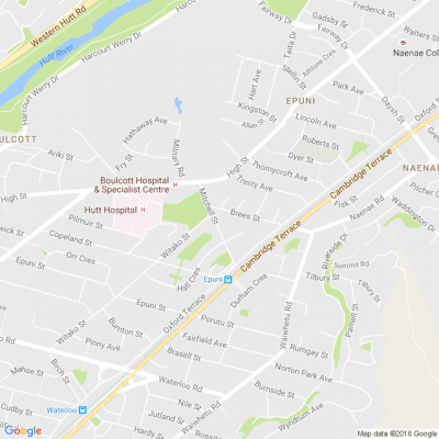
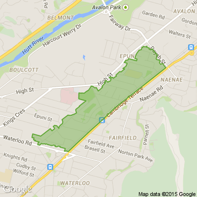

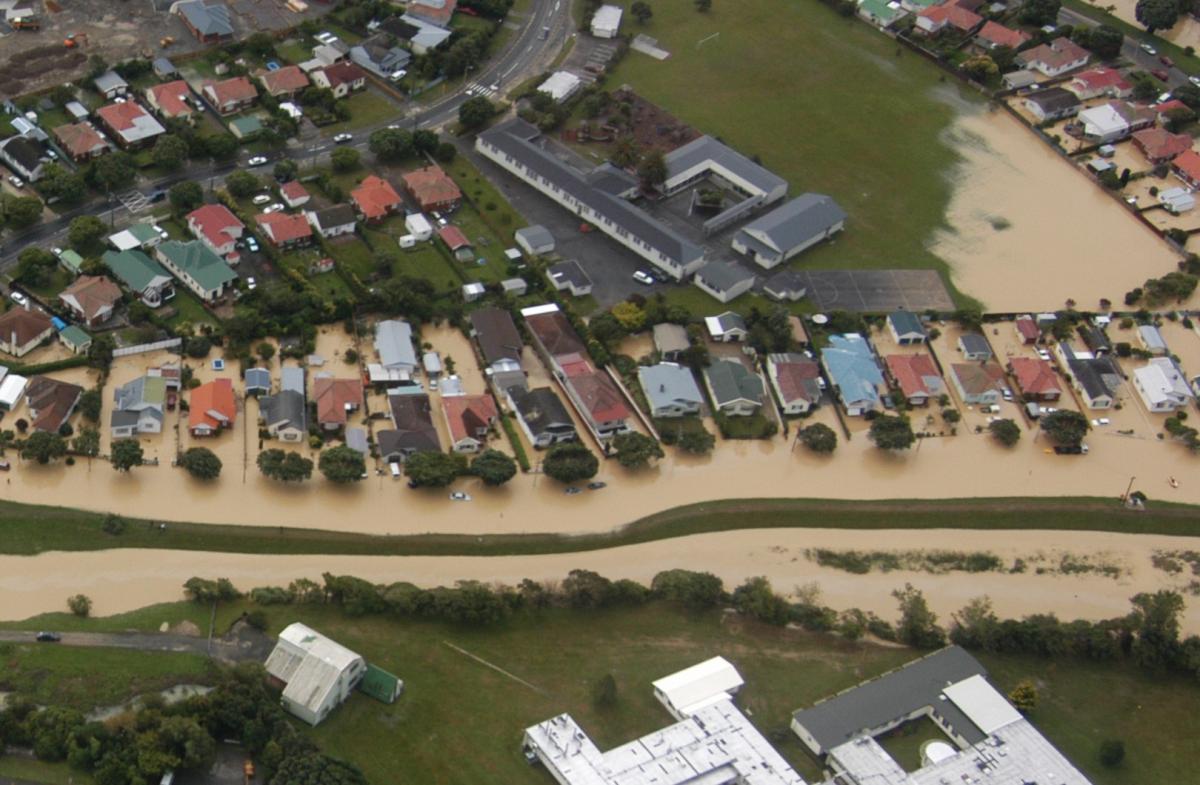
Mapping flood hazards in Lower Hutt
The most comprehensive flood mapping programme in Lower Hutt’s history is underway – but we need your help.
Draft maps of river and stormwater flood hazards have been prepared. Next week, we’ll start taking the maps to communities across the city, and we’d like people with memories or photos of past flood events to help us make the finished maps as accurate as possible.
So come along to our public information sessions and view the draft maps, learn more about natural hazards and help us to manage flood risk in our city. More information blow.
🧩😏 Riddle me this, Neighbours…
I am an odd number. Take away a letter and I become even. What number am I?
Do you think you know the answer?
Want to stop seeing these in your newsfeed? No worries! Simply head here and click once on the Following button.

Poll: Are you still heading to your local for your caffeine fix, or has the $$ changed your habits? ☕
Wellington’s identity is built on its cafe culture, but with costs climbing, that culture is under pressure. We’ve seen the headlines about recent closures, and it’s a tough pill to swallow along with a $6+ coffee.
We all want our favourite spots to stay open, but we also have to balance our own budgets ⚖️
We want to know: How are you handling the "coffee math" in 2026? Are you still heading to your local for a chat and a caffeine fix, or has the cost of living changed your habits?
Keen to read more about "coffee math"? The Post has you covered.

-
44% I avoid spending money on coffee
-
47.2% I still indulge at my local cafe
-
8.8% Irrelevant - coffee is not for me
Scam Alert: Bank cold calls
ASB is warning customers about reports of cold calls from scammers claiming to be from ASB. These scammers are trying to obtain personal information, including usernames, dates of birth, and verification codes sent to your mobile phone.
🛡️ The "Caller Check" Test
If you get a call from someone claiming to be from ASB and you’re unsure, just ask them for a Caller Check. You will then be able to verify the call through the app.
Remember, banks will:
❌ Never ask for your banking passwords, PINs, or verification codes
❌ Never need to know your full credit card number – especially the CVC
❌ Never ask you to download software or remotely access your device
❌ Never ask you to purchase gift cards or transfer funds.
If you have received a phone call and think your account has been compromised, call ASB on 0800 ASB FRAUD (0800 272 372), or visit your local branch.

 Loading…