Tsunami evacuation zones updated
From local democracy reporter Jonathan Leask:
Minor changes in revised tsunami evacuation zones mainly impact 10 rural properties.
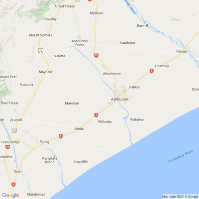
The Ashburton District Council released its updated tsunami evacuation zones after scientific modelling showed new areas that could be flooded in some worst-case tsunami scenarios.
Council strategy and compliance group manager, Jane Donaldson, said most of the newly included area is rural land rather than homes, but people who live or spend time near the coast are encouraged to familiarise themselves with the updated zones.
“These events are rare, so people don’t need to be alarmed, however they should have a plan for what to do if they need to evacuate.”
Based on the new modelling, that was commissioned by Environment Canterbury, the changes in the Ashburton District are relatively minor, with around 10 new properties included in the revised zones.
Settlements such as the South Rakaia Huts, Lower Hakatere Huts, and North Rangitata Huts were already located within existing tsunami evacuation zones.
The district has two tsunami evacuation zones, red and orange.
The red zone is most likely to be affected by a tsunami and includes estuaries, river mouths, and beaches where a tsunami of any size could cause strong currents and surges in the water.
The orange zone is less likely to be affected by a tsunami than the red zone and includes areas of land that could be flooded in a large tsunami.
Donaldson said that people in the red and orange zones need to evacuate immediately if they feel a long or strong earthquake, or receive an official tsunami warning.
“There may not be time for an official warning, so once the shaking stops, head immediately inland until you’re outside of the evacuation zones.”
Donaldson said coastal residents should search their address on the council website (ashburtondc.govt.nz/tsunami) and see if any of their property is within a tsunami evacuation zone.
ECan senior scientist - natural hazards, Helen Jack, said the likelihood of a tsunami being created close to Ashburton’s coast is small, and the biggest tsunami threats for the district are those created by large earthquakes on the Hikurangi or Kermadec subduction zones (to the east and north of the North Island), the Puysegur subduction zone (to the south of Fiordland), or by large earthquakes off the coasts of Central or South America.
A map of the new evacuation zones and further information can be found at: Ashburtondc.govt.nz/tsunami
*Public Interest Journalism funded through NZ On Air
Poll: Should the government levy industries that contribute to financial hardship?
As reported in the Post, there’s a $30 million funding gap in financial mentoring. This has led to services closing and mentors stepping in unpaid just to keep helping people in need 🪙💰🪙
One proposed solution? Small levies on industries that profit from financial hardship — like banks, casinos, and similar companies.
So we want to hear what you think:
Should the government ask these industries to contribute?

-
60% Yes, supporting people is important!
-
25.7% No, individuals should take responsibility
-
14.3% ... It is complicated
Poll: Do you have a go-to adverse-weather checklist for your family? ☔⚠️
As reported in the Press, the same low-pressure system that lashed the North Island over the weekend is now making its way south, bringing heavy rain and strong winds with it. It’s a soggy start to the week for many of us.
With more wild weather on the cards, we’re curious: do you have a go-to adverse-weather checklist for your family? Or are you more of a “grab the torches and hope for the best” household?

-
42.1% Yes - we like to be prepared
-
42.1% Nah
-
15.8% This is on my to-do list!
A Neighbourly Riddle! Don’t Overthink It… Or Do?😜
Do you think you know the answer? Simply 'Like' this post if you know the answer and the big reveal will be posted in the comments at 2pm on the day!
If you multiply this number by any other number, the answer will always be the same. What number is this?

 Loading…