
Council wants your help on roads
Hurunui residents are being asked to tell their council what they think of the state of the roads they use including speed limits, and the council is promising to listen.
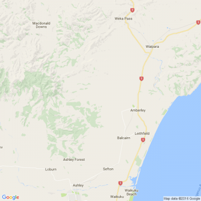
The Hurunui District Council, which has a roading network of over 1600 kilometres, has launched an interactive map to stay familiar with community experiences on that network and on top of any concerns.
"We want to know about people's experience on our network, about any places where people feel unsafe, and if the signed speeds seem appropriate to our road users. Council officers will receive reports generated from the map and use this to decide on future work programmes," roading manager Kushla Tapper said.
The aim of collecting this data is for longer-term projects and in this way community feedback will make a difference in shaping local roads and improving safety.
Everyone can start using the map to report their concerns and ideas from today.
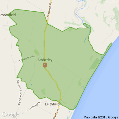
The interactive map is quick and simple to use, allowing residents to drop pins on exact locations and/or reinforce other user's comments. It can be found on the council website (www.hurunui.govt.nz).
More immediate concerns should be reported via the Snap Send Solve app - so the council can act promptly.

A Neighbourly Riddle! Don’t Overthink It… Or Do?😜
Do you think you know the answer? Simply 'Like' this post if you know the answer and the big reveal will be posted in the comments at 2pm on the day!
If you multiply this number by any other number, the answer will always be the same. What number is this?

Poll: As a customer, what do you think about automation?
The Press investigates the growing reliance on your unpaid labour.
Automation (or the “unpaid shift”) is often described as efficient ... but it tends to benefit employers more than consumers.
We want to know: What do you think about automation?
Are you for, or against?

-
9.5% For. Self-service is less frustrating and convenient.
-
43.5% I want to be able to choose.
-
47.1% Against. I want to deal with people.
Poll: Would you take a 1.5-hour hike for a shop? 🌿🐦
Canterbury, you have a hidden treasure right on your doorstep ... though it does come with a 1.5-hour walk up the stunning Rakaia Gorge Walkway.
Along the trail you’ll find The Fantail Shop showcasing small artworks by local artisans. Even better, every purchase supports the Fantail Trust, helping protect and restore biodiversity on the north bank of the gorge.
So we’re curious: would you take a 1.5-hour hike for a shop? (And for local biodiversity, of course 🌿)

-
31.5% Yes!
-
68.5% No thank you.
 Loading…