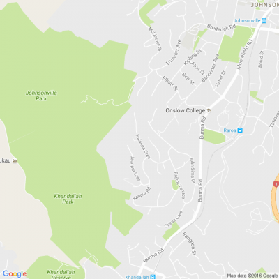
Resident Question - DMAPS Flight Path
✈️ We've received a question from a resident under the DMAPS flight path who used Flightradar and Webtrak to challenge the altitude data in Wellington Airport's consultation documents.
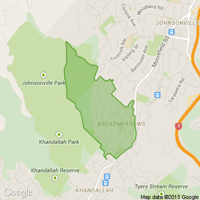
We can confirm (📸 see the pic in the comments) that flights have been recorded at altitudes below 3,000 feet over Khandallah and below 4,000 feet over Johnsonville.
The terrain in these areas varies significantly: 🌳 Khandallah is 880 feet, 🌄 Broadmeadows is 984 feet, 🏘️ Johnsonville is 495 feet, 🏞️ Horokiwi is 820 feet, 🌊 Korokoro is 135 feet, and 🏡 Newlands is 453 feet.
So, while the document doesn’t explicitly state it, flights are flying low and close to the suburbs under the current DMAPS flight path. 🌍 Sea level comparisons aren’t an accurate representation because the topography of our Wellington suburbs varies! 🌿
Find out more at planesensewellington.com

A Neighbourly Riddle! Don’t Overthink It… Or Do?😜
Do you think you know the answer? Simply 'Like' this post if you know the answer and the big reveal will be posted in the comments at 2pm on the day!
If you multiply this number by any other number, the answer will always be the same. What number is this?

Poll: Should the government levy industries that contribute to financial hardship?
As reported in the Post, there’s a $30 million funding gap in financial mentoring. This has led to services closing and mentors stepping in unpaid just to keep helping people in need 🪙💰🪙
One proposed solution? Small levies on industries that profit from financial hardship — like banks, casinos, and similar companies.
So we want to hear what you think:
Should the government ask these industries to contribute?

-
59.3% Yes, supporting people is important!
-
25.3% No, individuals should take responsibility
-
15.4% ... It is complicated
Khandallah Village Market 2025
What to do on a bleak day like today?
The Khandallah Village Market welcomes you to our Indoor Valentine's Day Market from 10:00 - 3:00 today at 33 Ganges Road.

 Loading…