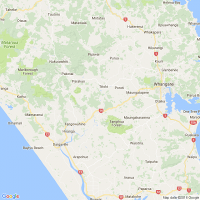

Is your property in Whangārei's new flooding and erosion zones?
The Northland Regional Council has just released its updated coastal hazard maps, which identify sites at risk of flooding or erosion over the next 50 to 100 years, especially if rapid sea level rise occurs. Newly mapped communities include Mangawhai, Tamaterau, Moureeses Bay and Woolleys Bay. Are you impacted? What do you think of the coastal hazard maps?
Brain Teaser of the Day 🧠✨ Can You Solve It? 🤔💬
Make a hearty dish. Take just half a minute. Add four parts of kestrel. Then just add one. What have you made?
(Trev from Silverdale kindly provided this head-scratcher ... thanks, Trev!)
Do you think you know the answer? Simply 'Like' this post and we'll post the answer in the comments below at 2pm on the day!
Want to stop seeing these in your newsfeed? No worries! Simply head here and click once on the Following button.

Poll: Should the government levy industries that contribute to financial hardship?
As reported in the Post, there’s a $30 million funding gap in financial mentoring. This has led to services closing and mentors stepping in unpaid just to keep helping people in need 🪙💰🪙
One proposed solution? Small levies on industries that profit from financial hardship — like banks, casinos, and similar companies.
So we want to hear what you think:
Should the government ask these industries to contribute?

-
59.8% Yes, supporting people is important!
-
26.1% No, individuals should take responsibility
-
14.2% ... It is complicated
Poll: 🤖 What skills do you think give a CV the ultimate edge in a robot-filled workplace?
The Reserve Bank has shared some pretty blunt advice: there’s no such thing as a “safe” job anymore 🛟😑
Robots are stepping into repetitive roles in factories, plants and warehouses. AI is taking care of the admin tasks that once filled many mid-level office jobs.
We want to know: As the world evolves, what skills do you think give a CV the ultimate edge in a robot-filled workplace?
Want to read more? The Press has you covered!

-
52.8% Human-centred experience and communication
-
16.7% Critical thinking
-
25% Resilience and adaptability
-
5.6% Other - I will share below!
 Loading…